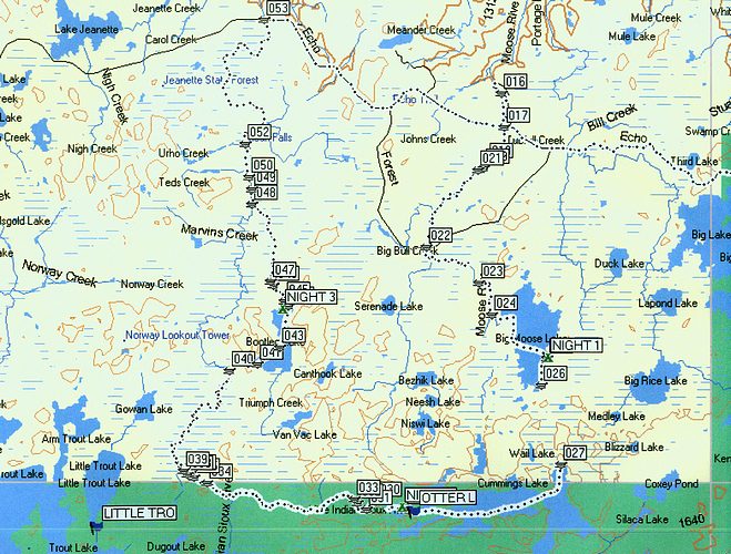
Here is a map of the area with my track. I'm using Garmin's Mapsource Topo . Note that the track continues down the Echo Trail. That's because I used it during the whole long drive to Tennessee. (If some map fanatic wants to see the track from 88 Weblon Lane, Sewanee, TN to the LISR, let me know). The numbers on the track are the segments caused by my turning the unit on and off at the beginning and end of all the portages. If you want to see more detail of a certain area, let me know. I can increase the zoom level and you can see exactly where all the little portages are, for example.